Nestled amidst the breathtaking landscapes of Utah, Salt Lake City is an outdoor enthusiast’s paradise. With its proximity to the towering peaks of the Wasatch Mountains, this vibrant city serves as a gateway to a myriad of incredible hiking trails. Whether you’re a seasoned hiker or a beginner looking to explore nature’s wonders, Salt Lake City has something for everyone. In this blog post, we’ll unveil the ten best hikes near Salt Lake City, where awe-inspiring vistas, serene alpine lakes, showy wildflowers, and pristine wilderness await.
******This post contains affiliate links. If you click on one of them, I may receive a small commission at no extra cost to you. Thank you!

Prepare For Your Hike
Whether you’re a seasoned hiker or just starting to explore the trails for the first time, being prepared can help you hit the trails with confidence.
You can prepare by researching your trail and local conditions using apps such as Duoveo and reading the comments about current trail conditions.
But most importantly, you can prepare by carrying the 10 essentials in your pack.
- A First Aid Kit
- Hydration (always bring more than you think you need)
- Food (bring all the snacks to keep your energy up on the trail)
- Safety: Flashlight or Headlamp, fire kit, and whistle
- Layers of clothes (to combat whatever weather conditions bring)
- Knife or multi-tool
- Navigation (map, GPS, compass)
- Sun Protection ( I always carry sunscreen, sunglasses, and a hat or visor)
- Emergency shelter (I’ve been hiking for over 20 years and just started carrying a bivy, essentially a space blanket shaped like a sleeping bag, a few years ago)
- Toilet paper and trowel or, better yet, Wag Bags.
Personally, I always bring my hiking poles with me as well.

Recreate Responsibly
There are seven Leave No Trace that you need to know before you hit the trails. It’s more than just packing out your trash. If you’d like to know more, go to Leavenotrace.org
1. Plan Ahead and Prepare
2. Travel and Camp on Durable Surfaces
3. Dispose of Waste Properly
4. Leave it as you found it.
5. Minimize Campfire Impact.
6. Respect Wildlife.
7. Be Considerate of Others.
10 Best Hikes Near Salt Lake City, Utah
Bell Canyon Trail to Lower Falls
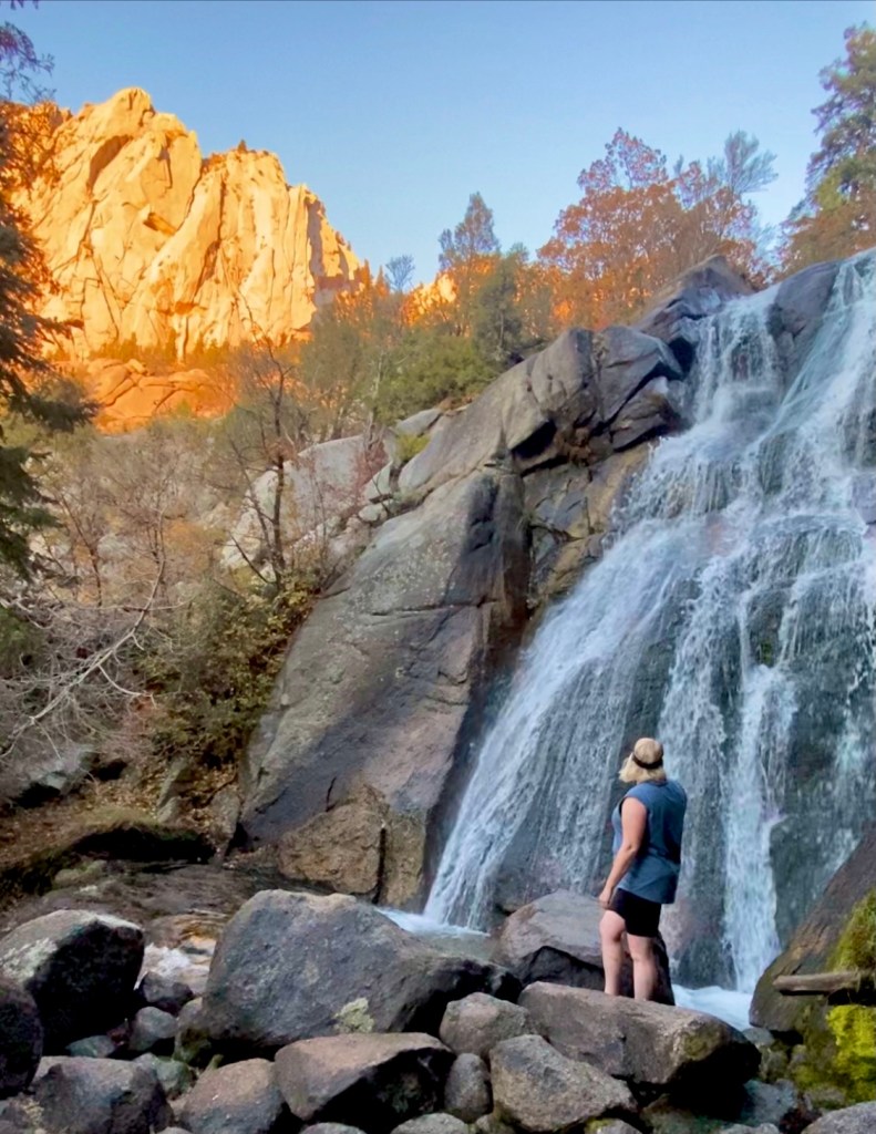
This trail has more than just the falls: after less than a mile of hiking with valley views, a beautiful tree-lined reservoir comes into view. After you pass the reservoir and go through a meadow, you cross the creek and enter the pine-filled craggy granite canyon. The final quarter-mile climbs steeply before you are rewarded with a cool respite under the falls opposite another beautiful view of the Oqquirh Mountains and the Salt Lake Valley.
Trailhead: Granite Trailhead
Distance: 5.1 miles roundtrip with 1,492 ft. elevation gain – Moderate
Other Trail Information: Bathrooms at the trailhead. No dogs because of the watershed.
Battle Creek Falls

For a shorter, family-friendly hike, head to Battle Creek Falls. Situated in Pleasant Grove, just outside Salt Lake City, this trail features a charming waterfall cascading into a rocky canyon. The hike is relatively easy, making it accessible for hikers of all ages and skill levels.
Trailhead: Dead End of Battle Creek Drive in Alpine, Utah.
Distance: 1.6 miles roundtrip with 606 ft. gain (for both the top and bottom of falls)
Other Trail Information: Bathrooms are available at the trailhead; dogs are permitted.
Cecret Lake
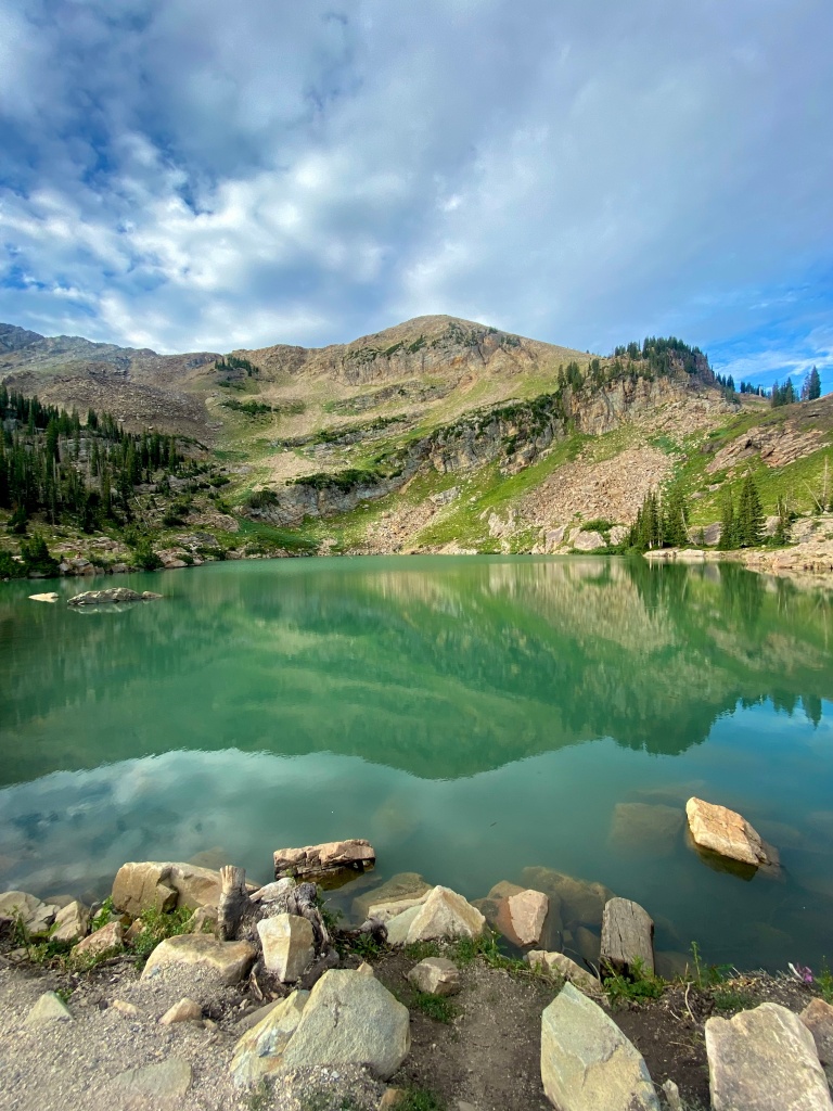
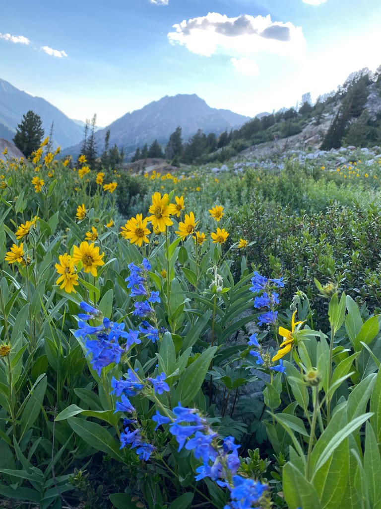
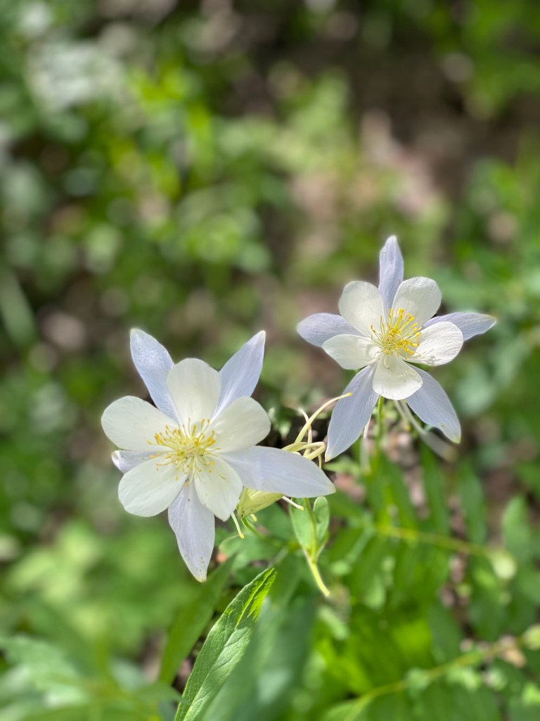
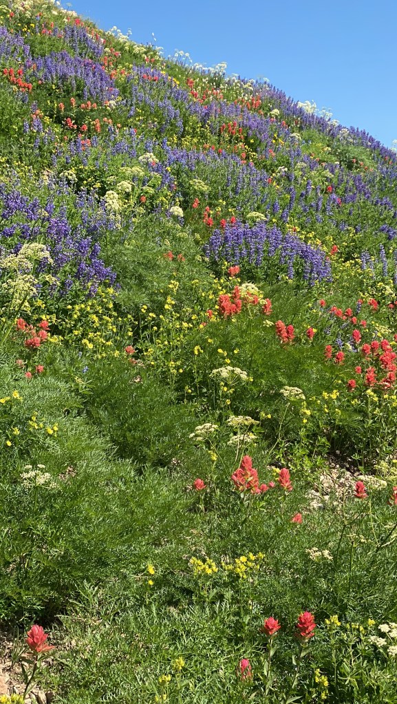
Nestled near the top of breathtaking Little Cottonwood Canyon, Cecret Lake (yes, spelled with a “c”) is a family-friendly hike to a picturesque mountain lake. The trail is particularly enchanting during the summer months when vibrant wildflowers carpet the meadows. Take in the tranquil beauty of the lake, look for salamanders, but don’t touch them, and enjoy a picnic amidst nature’s splendor.
Trailhead: Cecret Lake Campground Trailhead at the top of Little Cottonwood Canyon.
Distance: 1.8 miles roundtrip with 465 ft. elevation gain
Other Trail Information: $10 amenity fee (goes towards road and trailhead maintenance)
Bathrooms at the trailhead. No dogs because of the watershed. Access to this trail typically opens in the beginning of July.
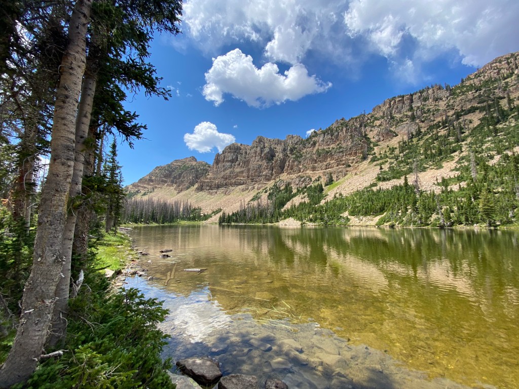
Lake Blanche

This picturesque beauty is the quintessential Salt Lake City Hike. You ascend the steep trail to witness the towering Sundial Peak reflected in this stunning alpine lake. Make sure to save time to visit the nearby Lilian and Florence Lakes with their breathtaking vistas, and pristine waters. Unfortunately, swimming is NOT permitted due to watershed regulations.
Trailhead: Mill B trailhead is about 4.5 miles up Big Cottonwood Canyon.
Distance: 7 miles roundtrip with 2,811 ft. elevation gain
Other Trail Information: Bathrooms at the trailhead. No dogs or swimming due to watershed regulations. This is a very popular hike. Go early for the best reflections and solitude.
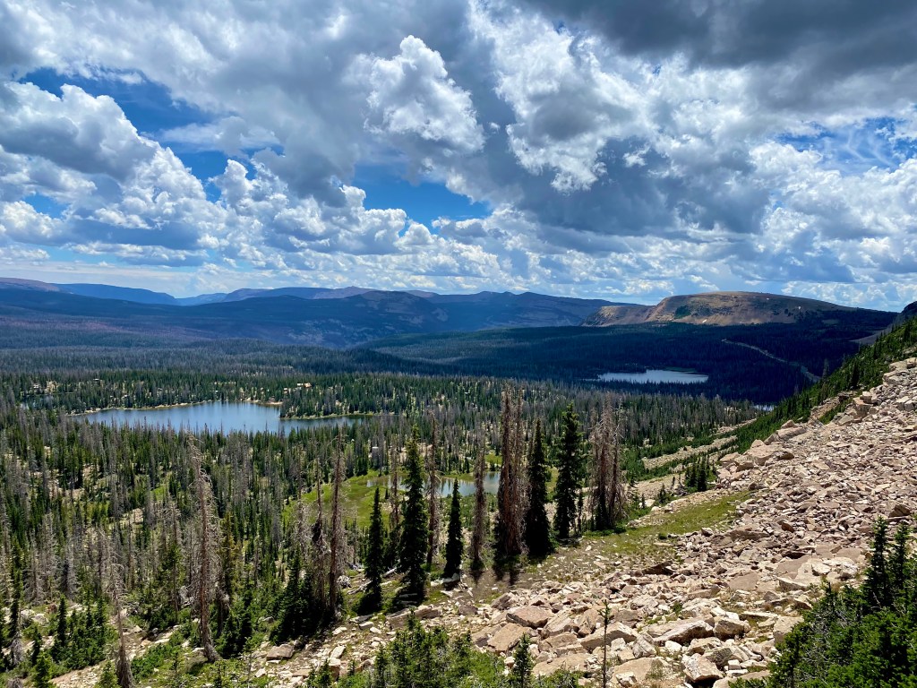
Brighton Lakes Loop

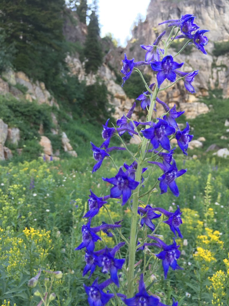
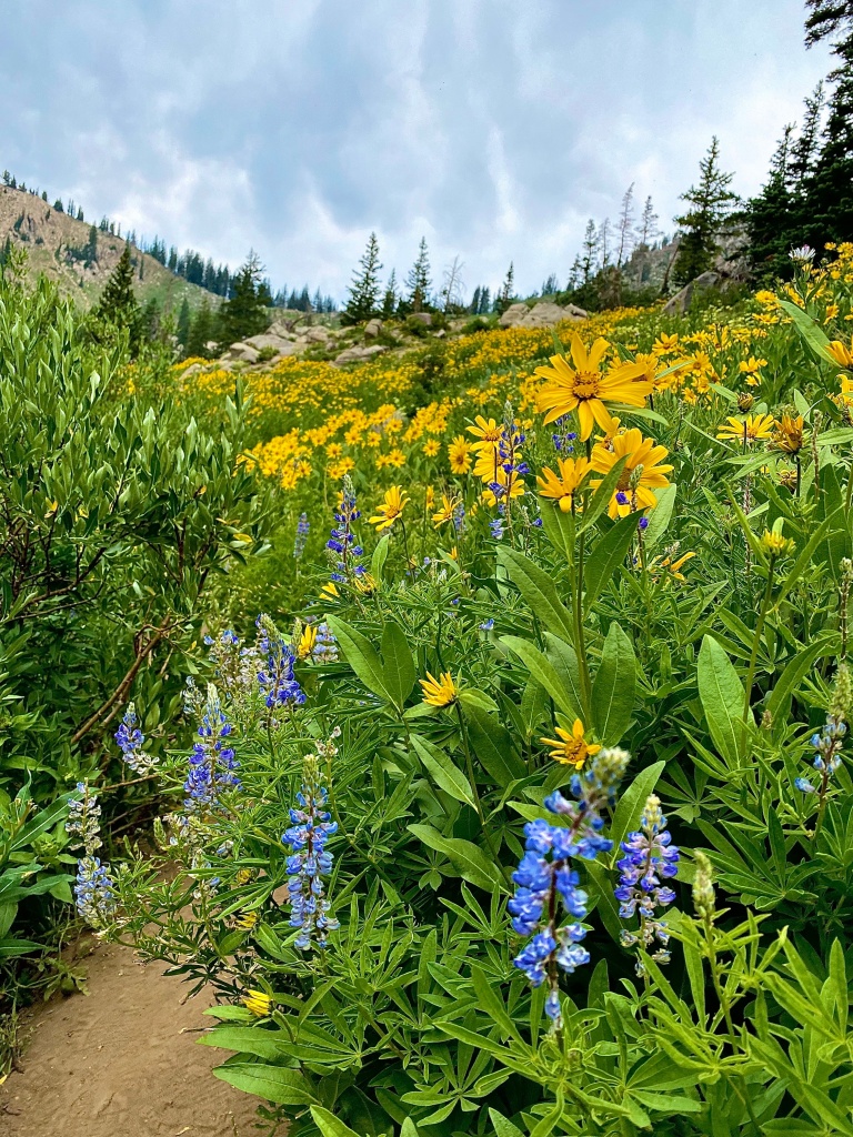
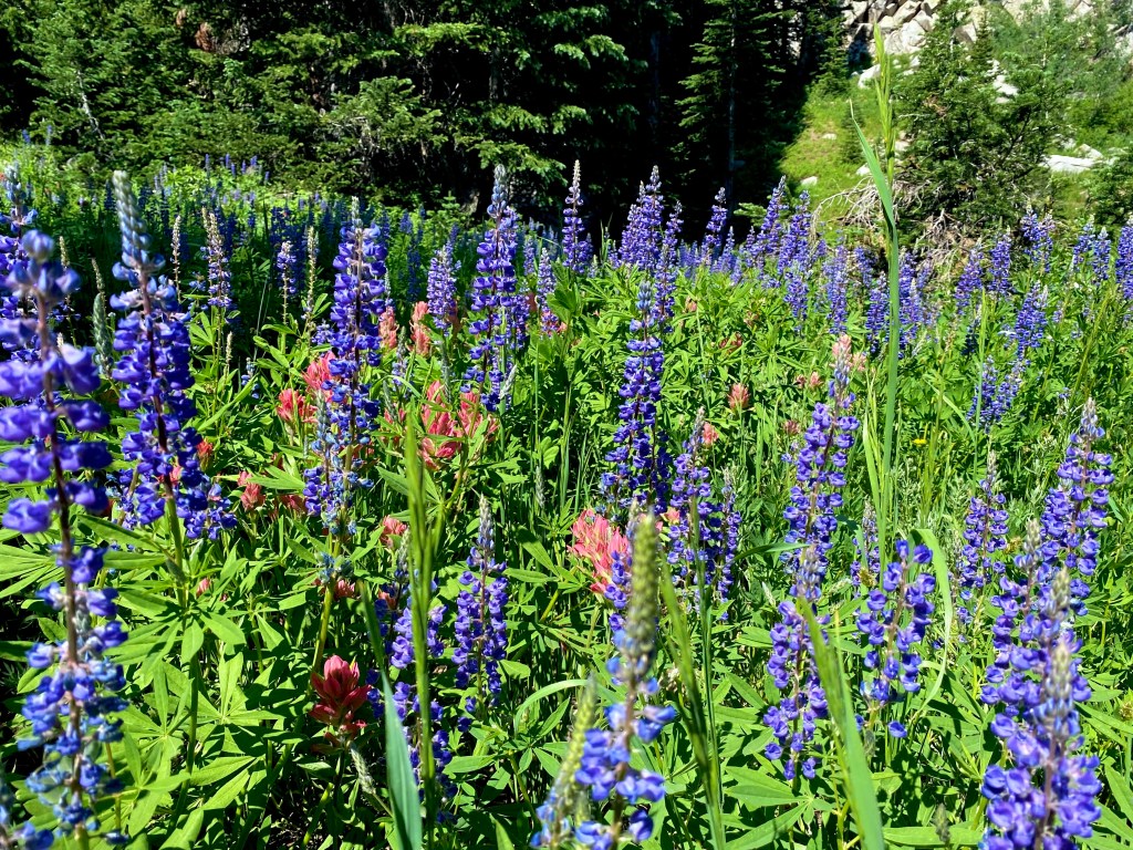
This is one of my favorite hikes to do in summer for the wildflowers. Depending on which route you take you have the option to see up to 7 alpine lakes. The are many route options that move from family-friendly to larger miles with some mild scrambling over boulders fields. No matter the option you choose, you’ll finish with that mountain-high feeling of being immersed in a beautiful setting with magnificent views. Typically July is best for wildflowers. Make sure to keep your eyes peeled as this is a popular area for moose. I once saw seven on the same hike!
Trailhead: Base of Brighton Ski Resort at the top of Big Cottonwood Canyon.
Distance: 3 Options:
Lake Mary 2.6 miles roundtrip with 849 ft. elevation gain
Brighton Lakes Trail 4.4 miles with 1243 ft. elevation gain
Brighton Lakes Loop 7 miles with 1807 ft. elevation gain
Other Trail Information: There are no bathrooms at the trailhead but nearby at Silver Lake. Due to watershed regulations, dogs and swimming are prohibited. This is a very popular hike.
Grandeur Peak

Sitting in the heart of Mill Creek Canyon, Grandeur Peak makes for a perfect summit for beginners and sunset watchers (Just make sure to bring your headlamp!) It beckons hikers with its challenging yet rewarding climb. As you ascend, you’ll be treated to awe-inspiring views of the valley and the surrounding mountains. Reaching the summit offers a sense of accomplishment and panoramic vistas that make the effort worthwhile.
Trailhead: Top of Church Fork in Millcreek Canyon (East Trailhead)
Distance: 5.9 miles roundtrip with 2,365 ft. elevation gain
Other Trail Information: Bathrooms at the trailhead. Dogs permitted. $5 fee for Millcreek Canyon
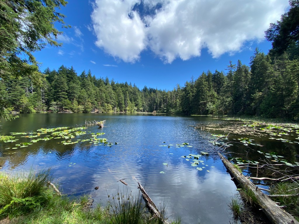
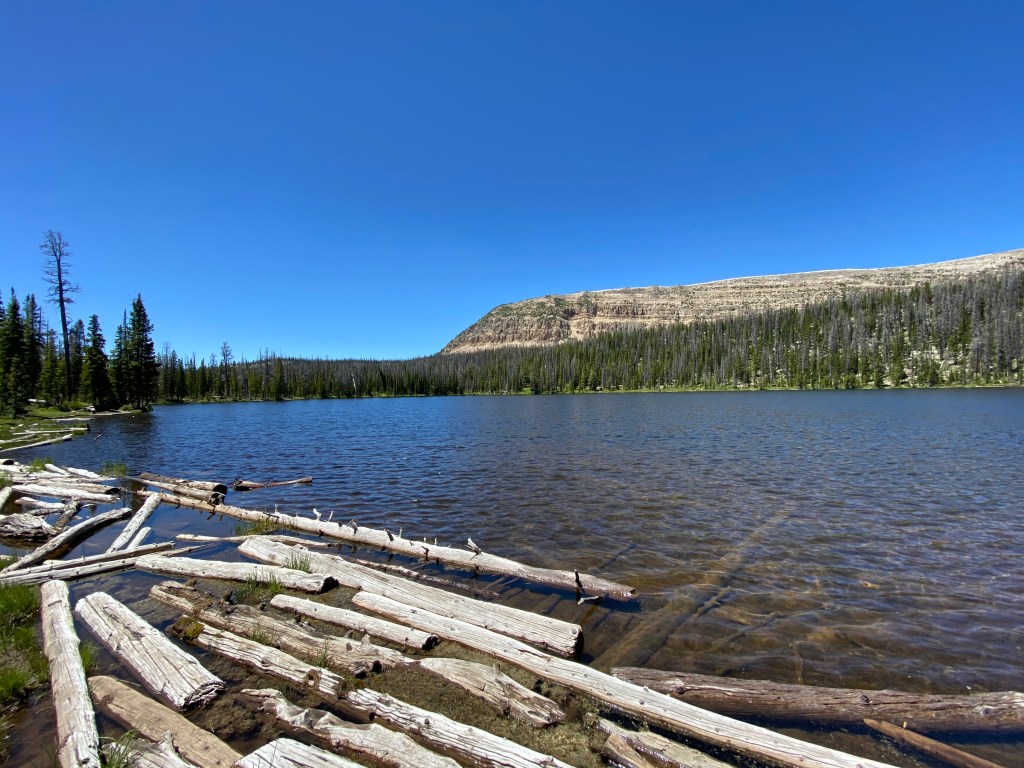
Lackawaxen Lake

Nestled in a bowl below Clayton Peak, Lackawaxen Lake offers a pristine alpine retreat for hikers. This moderately challenging trail leads through beautiful forests, across meadows, adorned with wildflowers, and finally to the shimmering lake itself. Enjoy the peaceful ambiance and take a moment to soak in the serene beauty of the surroundings. This trail sees less traffic because most people stop at Bloods Lake, the first you encounter on this beautiful trail.
Trailhead: Bloods Lake Trailhead just past Guardsman Pass at the top of Big Cottonwood Canyon
Distance: 7.6 miles roundtrip with 1,696 ft. elevation gain
Other Trail Information: Bathrooms at the trailhead. Dogs on leash permitted, however they are not allowed in the lakes.
Mount Van Cott

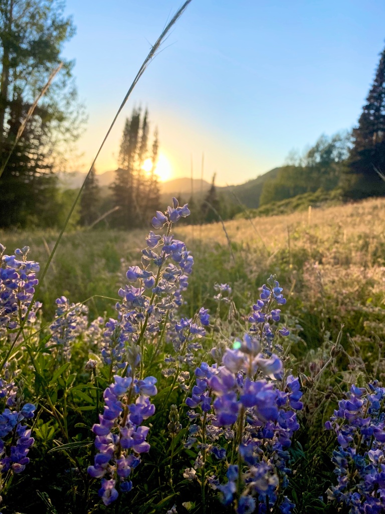
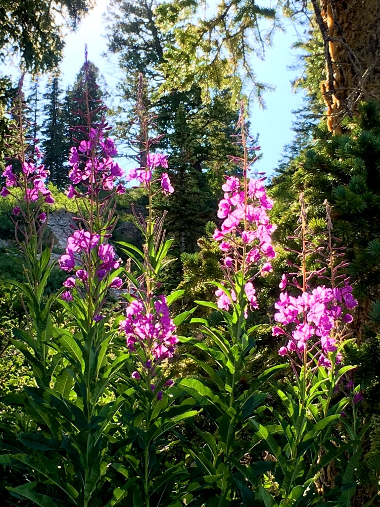
Conveniently located in Salt Lake City itself, Mt. Van Cott provides an excellent opportunity for a quick, challenging, and rewarding hike. The trail leads to the summit of this prominent peak, offering panoramic views of the cityscape and the surrounding mountains. It’s the perfect hike to fit into a busy schedule without compromising on the natural beauty. May and June are prime season for wildflowers.
Trailhead: Top of Red Butte Canyon Road (paid parking) or free at Popperton Park
Distance: 2.7 miles roundtrip with 1,227 ft. elevation gain my favorite open but from the paid lot.
4.8 miles roundtrip with 1,650 ft gain from Popperton Park
Other Trail Information: No bathrooms at the trailhead. (Port-a-potties at the park). Dogs on leash permitted,
Wasatch Crest Trail

Definitely one of my personal favorites, the Wasatch Crest trail keeps me coming back time and time again. This renowned and breathtaking high-elevation trail begins from the top of Guardsman Pass and is relatively easy for the length of the trail because of the net downhill. This iconic trail traverses the ridge line, offering awe-inspiring panoramic views of the Wasatch and Uinta Moutain ranges, the Great Salt Lake, and Antelope Island. Hikers and mountain bikers alike are treated to an unforgettable adventure in this alpine paradise.

Trailhead: Bloods Lake Trailhead just past Guardsman Pass at the top of Big Cottonwood Canyon
Distance: Options (both require a shuttle vehicle)
10.8 miles with 1,312 ft. elevation gain (finish at Mill D North Trailhead)
13.7 miles with 1,801 ft. elevation gain (finish at the top of Millcreek Canyon)
Other Trail Information: There are bathrooms at the trailhead. Dogs are not permitted. This trail is popular with mountain bikers.
Upper Farmington Canyon
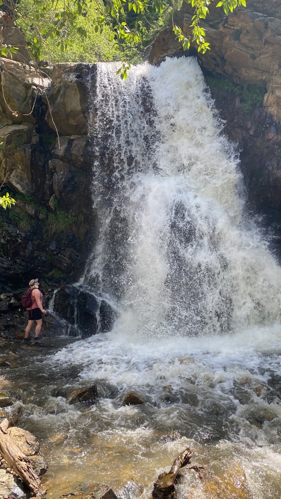
Hiking Upper Farmington Canyon is a whole adventure! It is also locally known as the Car Graveyard hike because of the 6+ car wrecks that can be found hidden in the trees along the trail. They toppled from the road high above. Some of the wrecks are probably from the early 1900s. Also on this trail is a small cave, two creek crossings with smaller cascades, and some epic views of the valley and Antelope Island! Make sure you follow the social paths after the creek crossing so you don’t miss any wrecks. All that in the 1 1/2 miles before you even reach the falls! You’ll hear the falls near the trail’s end before you see them. New in 2023 are switchbacks in the steep hillside to reach the falls. No more sketchy rope making this a truly family-friendly trail.
Trailhead: First hairpin turn on Farmington Canyon Road
Distance: 3 miles roundtrip with 948 ft. elevation gain
Other Trail Information: No bathrooms. Dogs Permitted
Looking for similar posts try