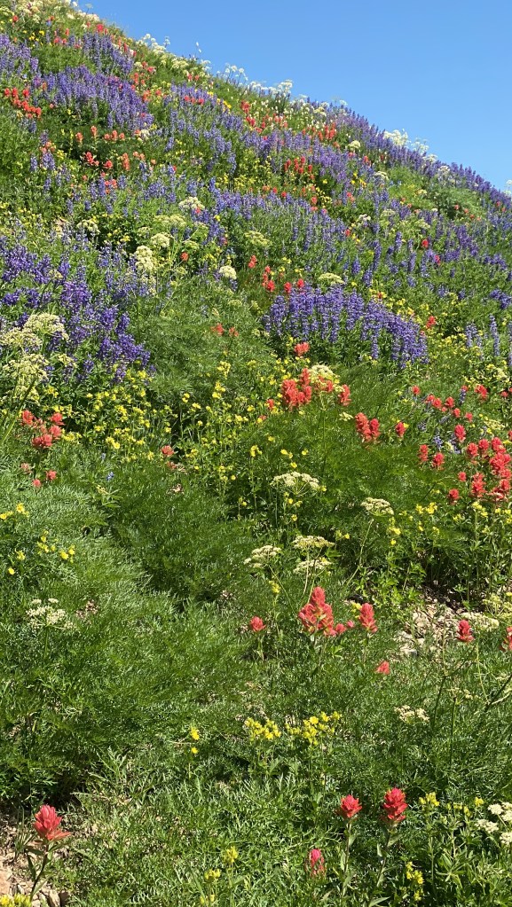
The Utah National Parks, with its magical hoodoos, awe-inspiring arches, and towering canyon walls, is a bucket list adventure for many travelers. This itinerary covers all you need to know for your dream Utah National Parks trip. You can customize it to fit your interests and time constraints. Due to the popularity of the Utah Parks, you will find the best deals and most options if you plan a year in advance, especially if you are visiting during the busy season.

Here are some Pro tips for planning your trip to the Utah National Parks:
- Get a National Parks Pass. The America the Beautiful pass will give you free admission to all 425 national park sites for one year.
- Book your accommodations in advance, especially if you visit during the summer, busy season.
- Bring plenty of water, chapstick, and sunscreen. The weather can be hot and dry in the desert. It will feel even warmer than you anticipate outside the summer season during midday.
- Be prepared for the high altitude. Some of the national parks in Utah are located at high altitudes, so be sure to adjust your hiking plans accordingly. Bring more water and plan for the hikes to feel more difficult.
- Be aware of the wildlife. There are a variety of animals in the national parks, including deer, elk, mountain lions, and bears. Be sure to keep your distance from wildlife and do not feed them.
- Leave no trace. Pack out what you pack in, stay on trails to protect the fragile desert environment, don’t make the rocks or trees (it’s illegal and comes with hefty fines and possible jail time), and help to keep the parks clean.

Utah National Park 7 days/6 Nights Itinerary
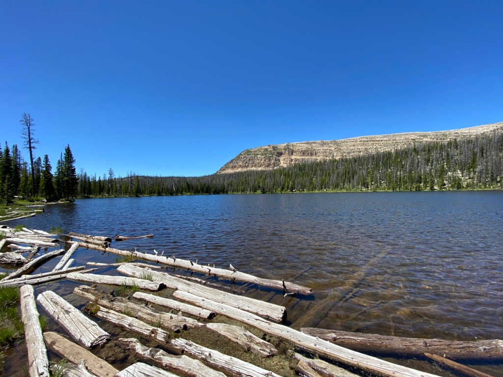
Below is an itinerary for a first-time visit. If at all possible, I would suggest 2-3 days for each park. So if time and budget allow, I would advise focusing on a few parks and returning for another visit to see the others. This itinerary works for flying into either Las Vegas or SLC. You could even consider flying into Las Vegas and flying out of SLC ( or vice versa) if the budget allows you to minimize drive times. Interested in the best hikes for the Utah National Parks? Check out them out here.
Day 1 Arrive at either SLC or Las Vegas
Depending on arrival time, consider stretching the legs on a hike:

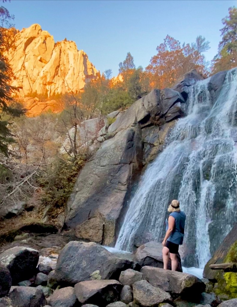
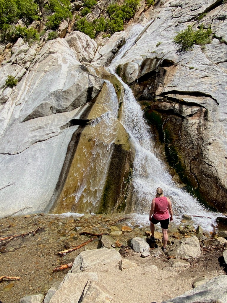
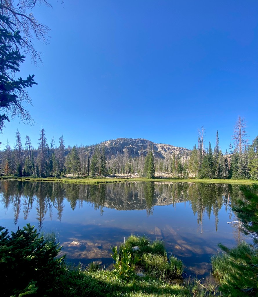
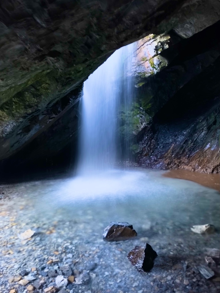
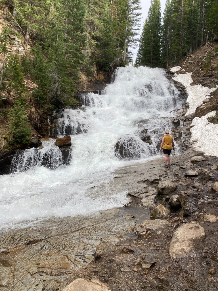
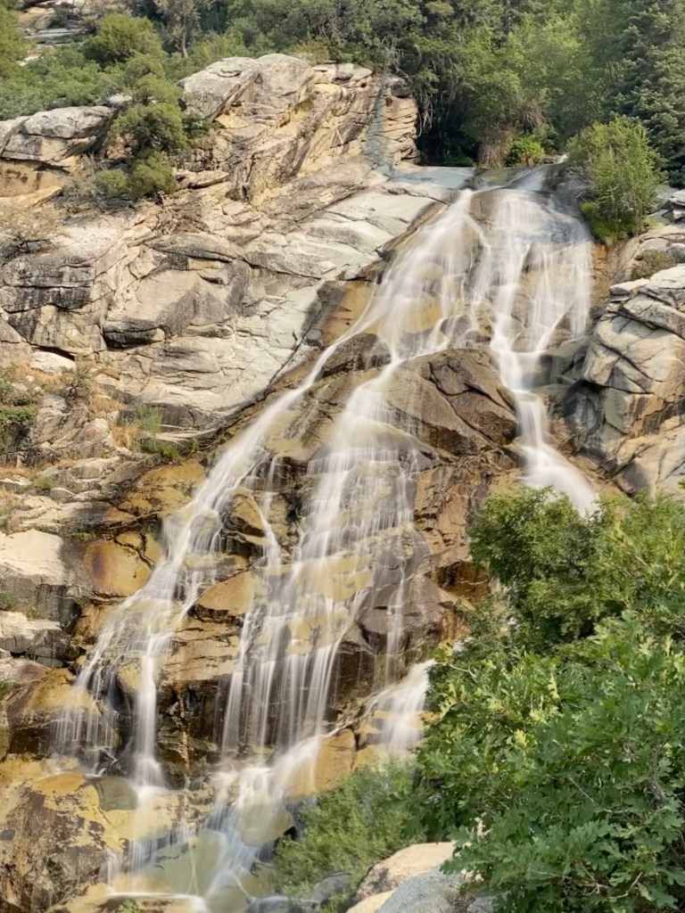
SLC: Donut Falls This short family-friendly like gets its name from the waterfall pouring through a donut-shaped hole into a pool located in a small cave. After the hike, drive 4:45 minutes to Zion National Park.
OR
Las Vegas: Valley of Fire State Park ($15 fee for non-residents)

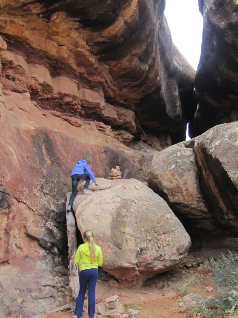
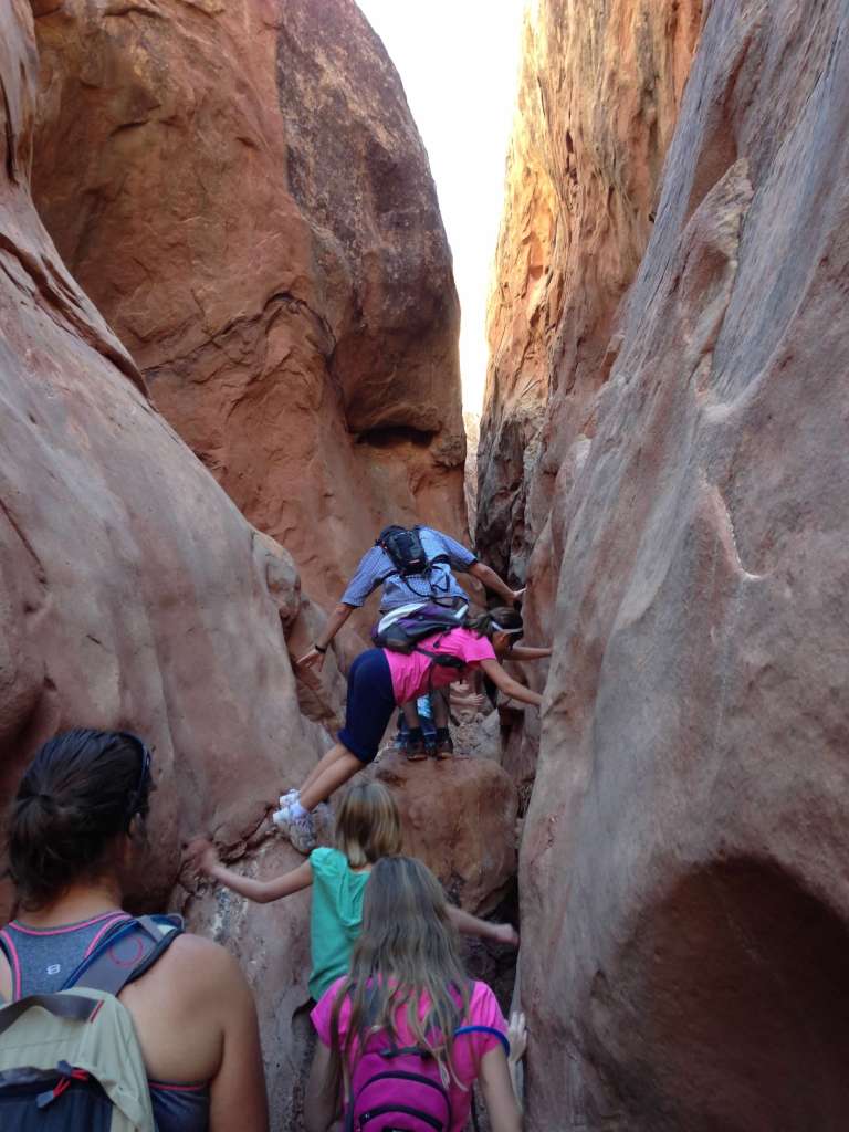
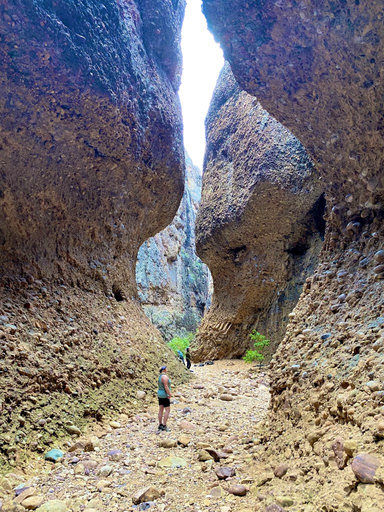
Hike: Fire Wave/SevenWonders/White Domes Loop This hike will highlight all the best this national park-worthy state park offers: Its iconic striped rock, Thunderstorm arch, and slot canyon.
Drive to Zion National Park (2:15 minutes). Spend the night outside the park.
Day 2 Zion National Park
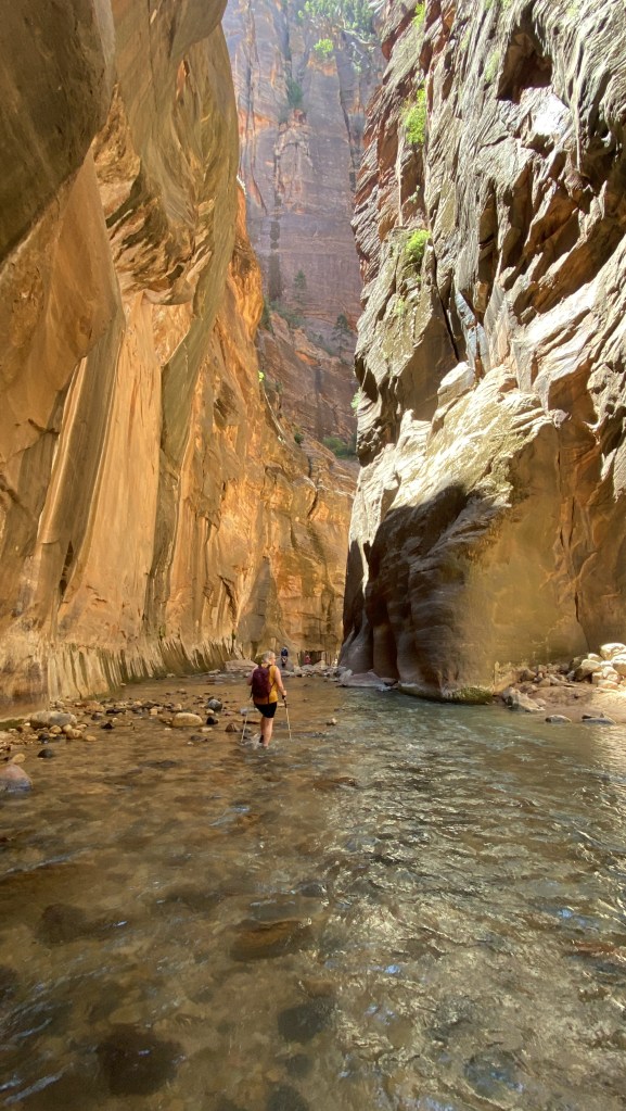
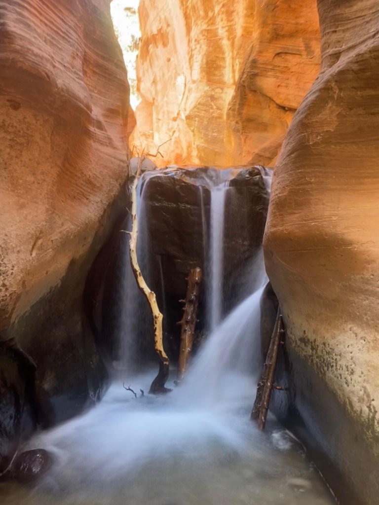
Zion National Park is home to many bucket list hikes from the Subway (permit required), Angel’s Landing, and the Zion Narrows. With three different regions of the park: Zion Canyon, Kolob Canyons, and Kolob Terrace, you can find any type of adventure you are looking for, including scenic drives, short walks, long day hikes and backpacking trips, and even canyoneering.
How to Get Around Zion National Park:
No personal vehicles are permitted down the Zion Canyon Scenic Drive from mid-May to after the Thanksgiving Holiday in November. All park visitors are required to ride the shuttle. No tickets or reservations are required to ride, but the Visitor’s Center Parking lot fills fast, so getting on the first shuttles of the day is advisable to avoid lines and having to pay for parking in the town of Springdale. Learn more about the Zion shuttle here. Personal Cars are permitted on State Highway 9, Kolob Terrace, and Kolob Canyon Roads.

Where to Stay in Zion National Park:
Inside the park, you can book the Watchman and South Campgrounds for the main Zion Canyon. You can also book at the Zion Canyon Lodge. Just outside the park, you can find all types of accommodations from hotels, Airbandbs, glamping, and RV sites in Springdale, Virgin, and further afield in St. Goerge and Hurricane, Utah. We’ve stayed in both the Desert Pearl and the Best Western and had good experiences. We also enjoyed camping at the Kolob Campground, which is nice and cool in the summer.
Where to Eat in Zion National Park:
The Zion Canyon Lodge has a dining room. Otherwise, you’ll need to pack a picnic or plan on eating in nearby Springdale. Springdale has many options to fit any budget and diet preference. Places I’ve enjoyed are the Spotted Dog Cafe, which serves farm-to-table food, Bit and Spur for Mexican and American fare and Zion Brewpub. The brewpub is right next to the visitor’s center and makes a convenient place to stop after a day on the trail. A little further afield in Virgin is Balcony One. Their Mediterranean-influenced American cuisine is worth the drive.
Best Hikes in Zion National Park:
Angel’s Landing and the Narrows are my top recommended hikes. You can find all you need to know for these adventures in this post. I recommend the Zion Canyon Overlook and Emerald Pools for more family-friendly options.
Cost: $30 per car for 7 days.
After your day in the park, drive 1:48 minutes and check into your Bryce Canyon accommodations
Day 3: Bryce Canyon National Park

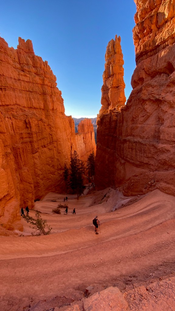
Bryce Canyon National Park is world-renowned for its prolific number of fantastical hoodoos found in the Bryce Amphitheater. Experiencing the hoodoos from the canyon rim and below on the trail is an experience you won’t soon forget.
How to Get Around in Bryce Canyon:
Bryce Canyon has the option of taking a shuttle or your personal vehicle. If you choose to drive your car, arrive at the park early to avoid long entrance lines and easily secure parking as lots up quickly. Find more information about the shuttle here.

Where to Stay in Bryce Canyon National Park:
Inside the park, you’ll find the Bryce Canyon Lodge as well as the North Campground: open year-round by reservations, and the Sunset Campground, which is open mid-April to the End of October. Sites are available on a first-come, first-served basis. Outside the park, there is Ruby’s Inn and a Best Western Hotel. There are also other accommodations in nearby Tropic.
Where to Eat near Bryce Canyon National Park:
You can enjoy the dining room in the Bryce Canyon Lodge. Immediately outside the park, you’ll find the Canyon Diner for quick eats and the Ruby’s Inn Cowboy Buffet and Steak Room. In Tropic, there is a great BBQ place, i.d.k. BBQ.
Best Hikes in Bryce Canyon National Park:
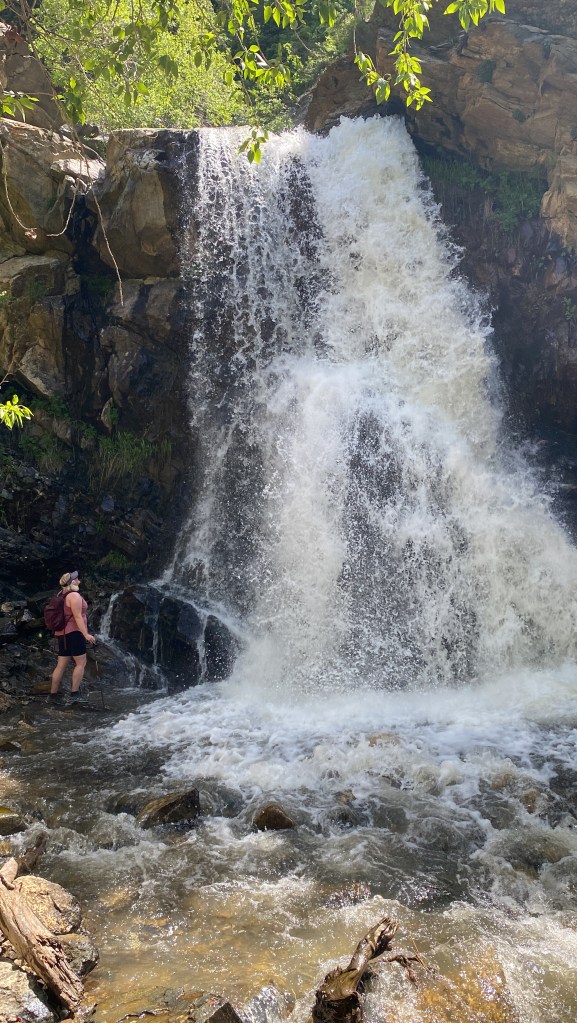
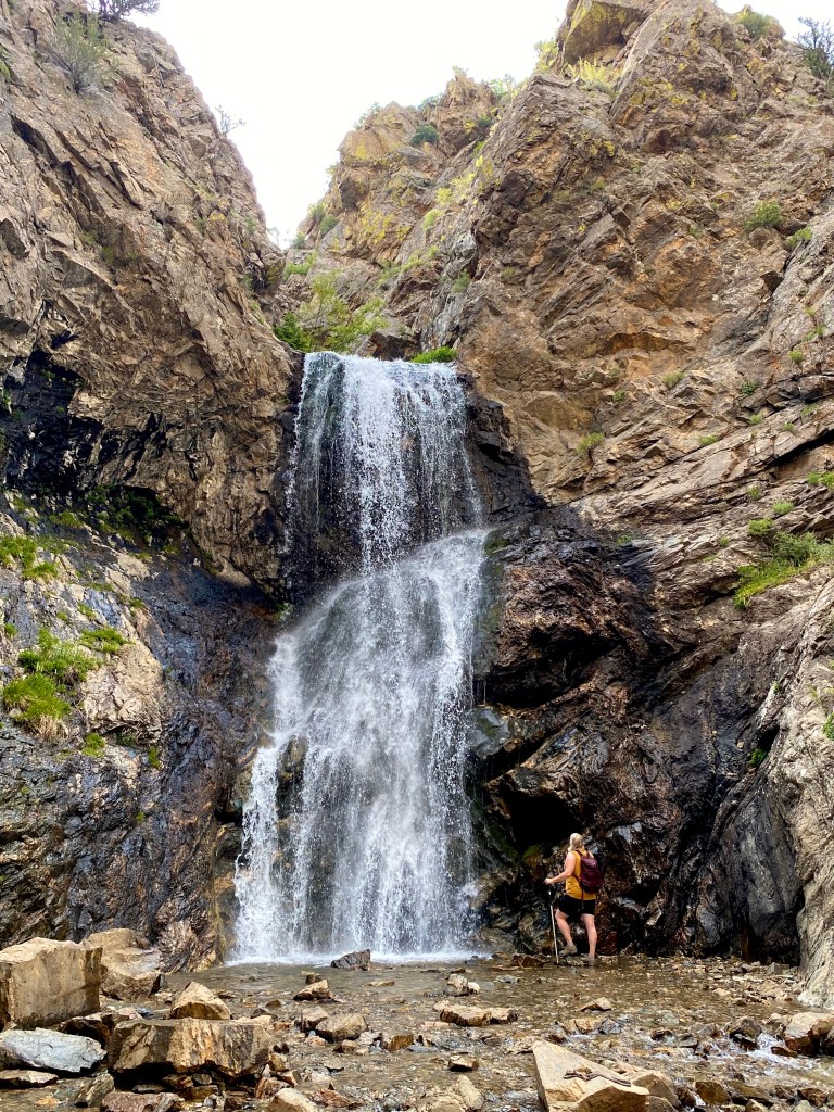
The top hikes in the park are the Navajo Loop, Fairyland Loop, and the Mossy Cave Waterfall. Find detailed information on the route, including the best time to go here.
Cost: $35 per passenger car for 7 days.
Drive to and spend the Night Outside of Capitol Reef National Park
Day 4: Capitol Reef National Park
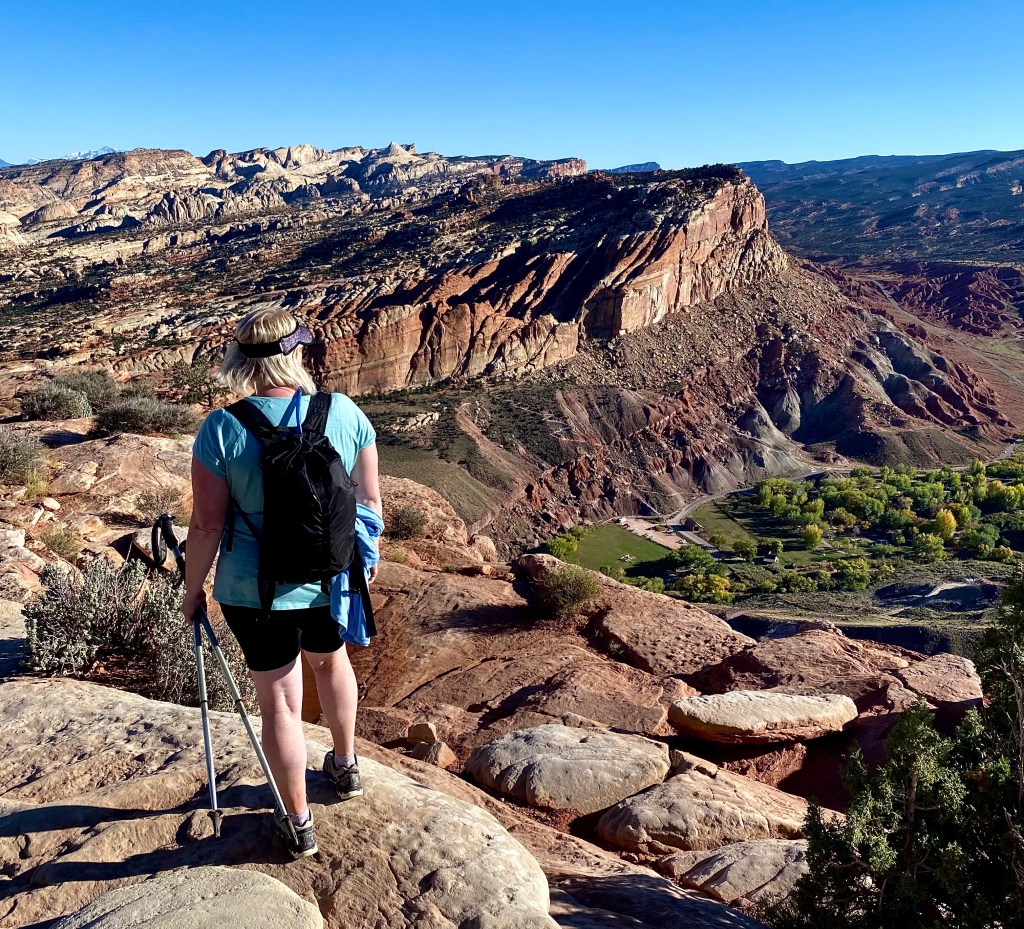
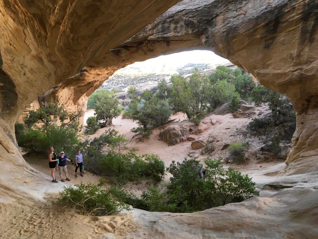
Capitol Reef is my favorite Utah National Park. It offers hoodoos, arches, and towering canyon walls. Slot canyons, waterfalls, towering monoliths, plus U-pick orchards with heirloom fruits and nuts. So many people drive through this park between Bryce and Arches and barely get out of the car, and they really miss out. The Park has three districts Fruita (main district), the Waterpocket fold district (think views and slot canyons), and Cathedral Valley or North district with its Towering Monoliths. Because I love this one so much, I outlined a 1-day itinerary that will give you a quick overview of some of what makes this park so special.
9:00 Arrive at Capitol Reef Visitors Center
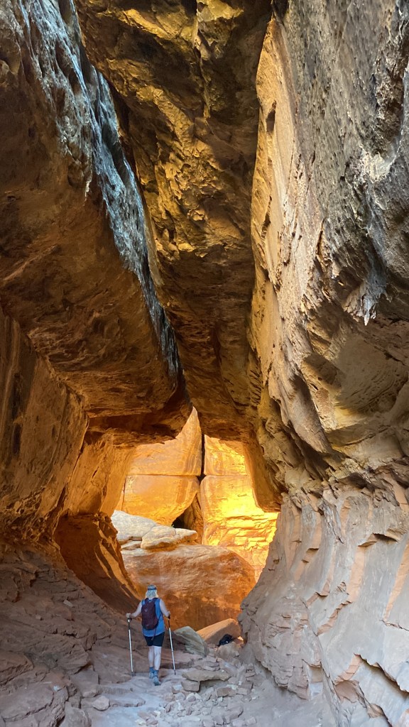
9:30 Hike Hickman Bridge or Cohab Canyon

11:00 Petroglyphs, Picnic, and Pie (oh my!) Stop to see the roadside Petroglyphs along the boardwalk and then head to the Gifford House to pick up your fresh fruit pie and enjoy a picnic lunch surrounded by the nearby orchards.
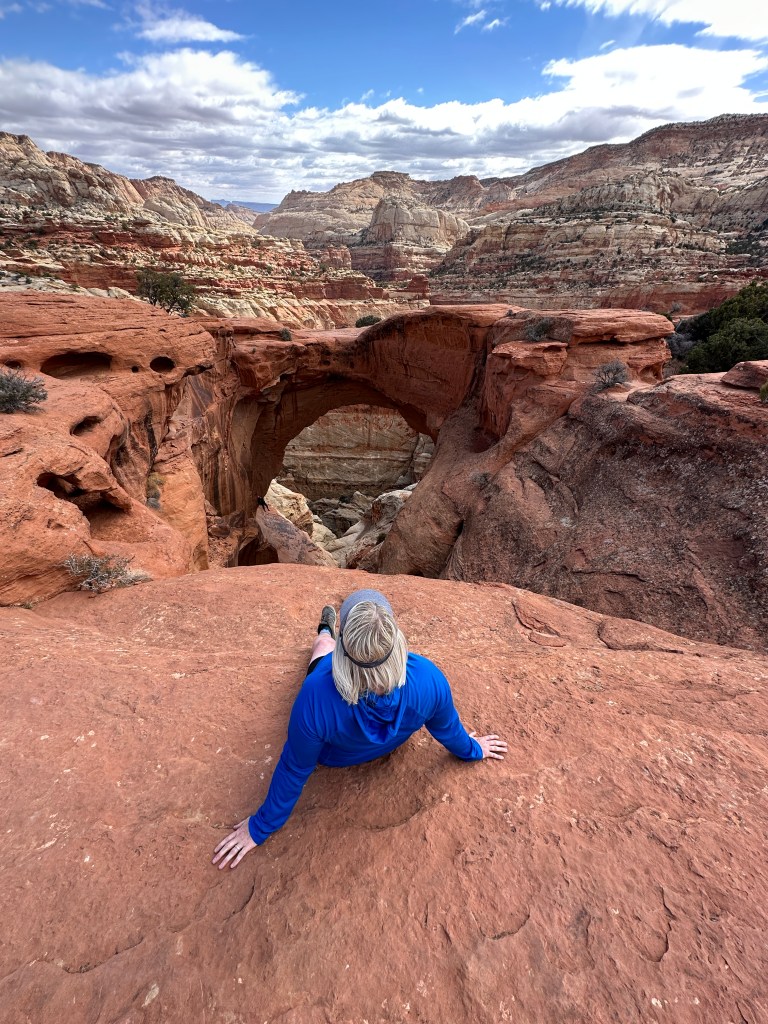
12:30 Take the Scenic Drive and Hike Cassidy Arch or Grand Wash
3:30 Complete the Scenic Drive and stroll Capitol Gorge
If time permits, take in the Sunset at the Panoramic/Sunset point. It’s fantastic. Just keep in mind the restaurants in Torrey close on the early side.

7:00 Dinner in Torrey
Drive to Moab and check into accommodations of choice.
How to Get Around Capitol Reef National Park:
A passenger car will work for most roads and dirt roads in the park. If venturing into Cathedral Valley, plan on having a high-clearance vehicle. Many roads outside the Fruita district are remote, so always check in with the rangers for current conditions.

Where to Stay Near Capitol Reef National Park:
There is no lodging within the park boundaries. However, the park has 3 campgrounds: The Fruita Campground has 71 sites. You can reserve the sites from March 1st until October 31st. The rest of the year is first-come, first-served. The Cathedral Valley (requires 4WD )and Cedar Mesa ( in the WAterpocket fold district)campgrounds are primitive and available first come, first served.
Many bed and breakfasts, Airbnb/Vrbos, lodges, and budget motels are found in the area. I listed my favorites below:
Skyview has 14 rooms with art installations highlighting the park’s iconic features. Enjoy red cliff views from your private hot tub after a day on the trails.
The Lodge at Red River Ranch has luxury accommodations with 15 unique rooms decorated with antiques and art. We’ve been staying here for over 15 years. It’s one of the best lodges in the West. If you’re fortunate to book a room, make sure to say hello to Dave and Charlene from me.
Capitol Reef Resort has many lodging options – rooms, suites, and cabins or choose the “glamp” in a teepee or Conestoga wagon.
Airbnb: We stayed in three different Airbnbs in the area and were happy with all of them. Many different budget options are available.
Where to Eat Near Capitol Reef National Park:
There are no eateries inside Capitol Reef National Park. However, you can find choices just outside the park in Torrey.
Pioneer Kitchen Country Southwestern cuisine in a laid-back environment located at the Capitol Reef Resort. Great vegetarian options. Open year-round.
Capitol Burger is a Fast food truck with outdoor seating. All the food is fresh and handmade, with lots of gourmet burger options.
Rim Rock This restaurant serves Western fare with incredible views of Capitol Reef. They also have the Rim Rock Patio for more casual fare, like pizza. Both are open from March through October. Dinner only.
Hunt and Gather, our favorite in town, has a seasonal menu with locally sourced ingredients. Dinner only. Open March through mid-October.
Wild Rabbit Coffee and Cafe Breakfast and Sandwiches from 8-2 Thursday through Sunday. Don’t miss this gem for breakfast.
Chak Balam has excellent Mexican food in a dining room filled with handmade artisan masks from different regions of Mexico.
Cost: There is no cost to enter Capitol Reef. However, there is a $20 fee to drive the Scenic drive. You can use your national park pass in lieu of the fee.
Day 5: Arches National Park
With over 2,000 natural sandstone arches, Arches National Park has the largest concentration in the world. This park is accessible with many arches that can be seen right from the road or a short hike/walk. Like Bryce Canyon, the smaller size of the park makes it easy to pack a lot into a one-day visit.
How to Get Around Arches National Park:
While you can drive your own vehicle in Arches National Park, a timed entry permit is required during peak season (April 1st through October 31st.). Your permit can be obtained three months in advance here.

Where to Stay Near Arches National Park:
Devil’s Garden Campground is the only place to stay in the park. Sites are available first-come, first-served November through February and by reservation only March 1 through October 31st.
Moab has a myriad of accommodation options to fit any type of traveler. I recommend the Gonzo Inn with its condo-style rooms within walking distance of Main Street, and The Radcliffe is pet-friendly and has gear storage right in your room.

Where to Eat Near Arches National Park:
There are no eateries inside the park, so unless you pack a picnic, you’ll need to eat in town. Out of all the towns outside the Utah National Parks, Moab is the most accommodating for those with special dietary needs and restrictions. Our favorite bites in town include Antica Forma for pizza, check out the Moab Food Truck Park for a wide variety of options, and the Desert Bistro for fine dining,

Best Hikes in Arches National Park:
Top recommended hikes for Arches are the Iconic Delicate Arch and Devil’s Garden. If you’re looking for shorter hikes make sure to check out the Windows section of the park and Sand Dune Arch trails.
Cost: $30 per car for 7 days
Day 6: Canyonlands National Park

Canyonlands National Park is Utah’s largest national park. Divided into four districts, including Island in the Sky, Needles, Maze, and Rivers. This post will cover Island in the Sky and the Needles Districts as they are the easiest to access without a high clearance 4WD vehicle.
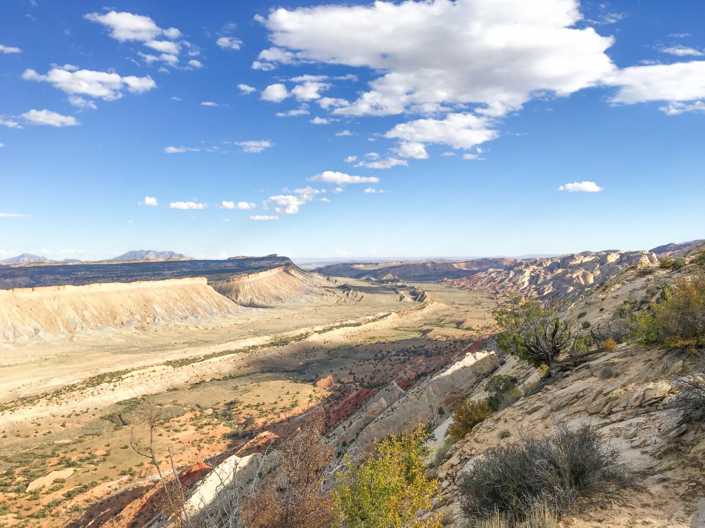
The Island of the Sky District is closest to Moab and is known for its expansive and breathtaking overlooks, such as Grand View Point, White Rim, Green River, and Shafer.
The Needles District is named after the Cedar Mesa Sandstone Spires that are so prevalent in the district. The Needles district is located about an hour south of Moab and, as a result, is much quieter than both Island in the Sky and Arches.

How to Get Around Canyonlands National Park:
To access the areas covered in this post, all you need is a passenger car. There are no buses or shuttles that run through the park. For the sake of this itinerary, you will need to pick one district to visit. If you are a hiker, I definitely recommend the Needles District over Island in the Sky.
Where to Stay Near Canyonlands National Park:
Moab is your best bet for visiting Island in the Sky district unless you prefer to camp. Island in the Sky has one small campground. The 12 sites are first-come, first-served and fill quickly. When you visit the Needles district, you can choose to keep your base in Moab. Although Moab is an hour away, you’ll find more accommodations (and restaurants).
For the closest accommodations near the Needles, you can camp inside the park. You can reserve a site from spring through fall. The closest town to this district is Monticello. Recommended accommodations are Glamping Canyonlands, and Inn at the Canyons
Where to Eat Near Canyonlands National Park:
There are no eateries inside the park. You can find places in Moab like those recommended above or eat in Monticello. Your best choices in Monticello are Wagon Wheel Pizza, Gustavo’s Mexican, and the Granary Bar and Grill.
Best Hikes in Canyonlands National Park:
When visiting Islands in the Sky district, make sure you visit the iconic Mesa Arch and the White Rim Overlook. In the Needles District, don’t miss the Elephant and Big Spring Canon Loop and Elephant Hill and Chesler Park Loops for their slot-like sections, ladders, spires, and views.
Day 7: Return to Las Vegas or Salt Lake City
On your final day, drive to Salt Lake City (4 hours) or Las Vegas (6:30 hours). As schedule permits, before your flight, explore downtown Salt Lake City or the Strip in Las Vegas.
Other Posts you may like: